Please note
The LakePulse project ended in 2023. The site is therefore no longer updated on a regular basis, but only when there are major new features.


Different features
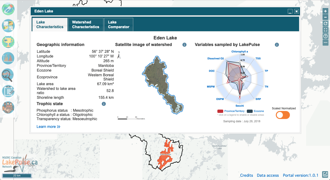
LakePulse LakePortal
Map of lakes sampled in 2017, 2018 and 2019
Sampled variables
LakePulse LakePortal
Map of lakes sampled in 2017, 2018 and 2019
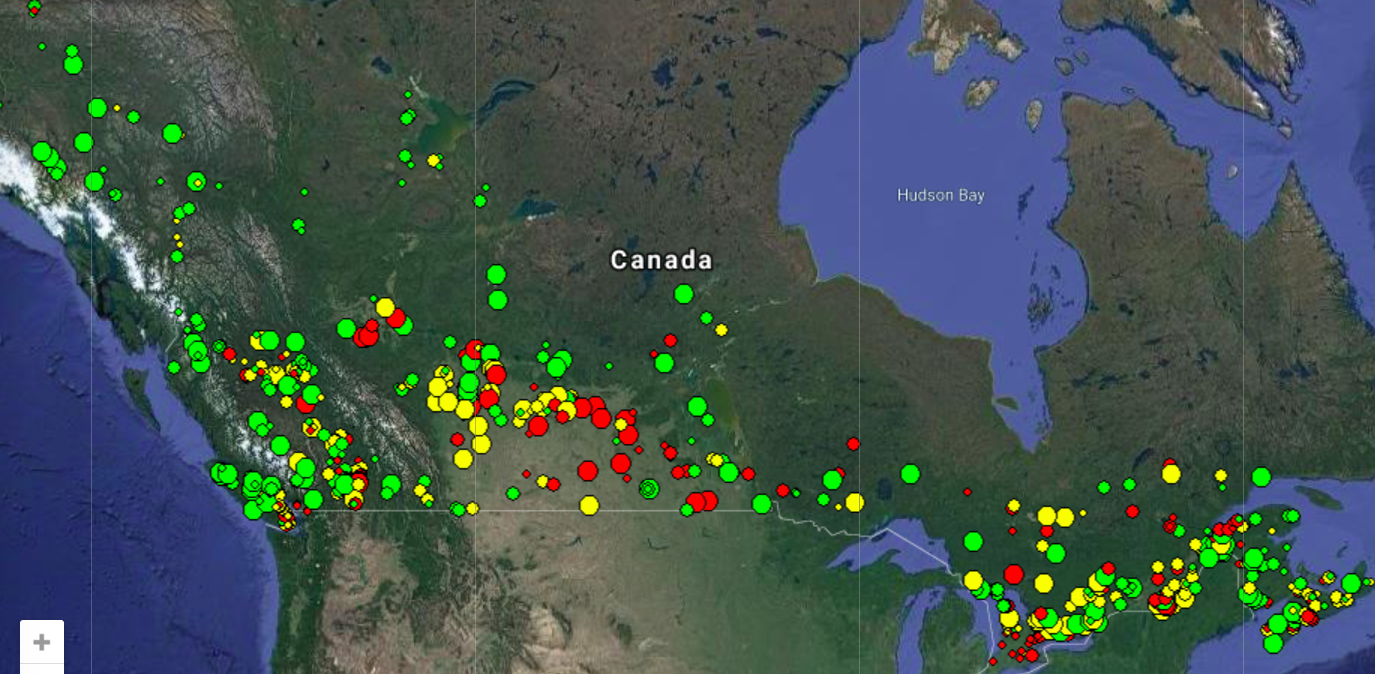
Map of lakes sampled in 2017, 2018 and 2019. In the map above, for each lake, the size of the circle indicates one of our three size classes (small is 0.1-0.5 km2, medium is 0.5- 5 km2, large is 5-100 km2). The colour indicates our human impact index (green is low, yellow is moderate, red is high). To find out more about the lake selection process, read this article.

Sampled variables
Variables sampled at 664 lakes in the LakePulse Survey
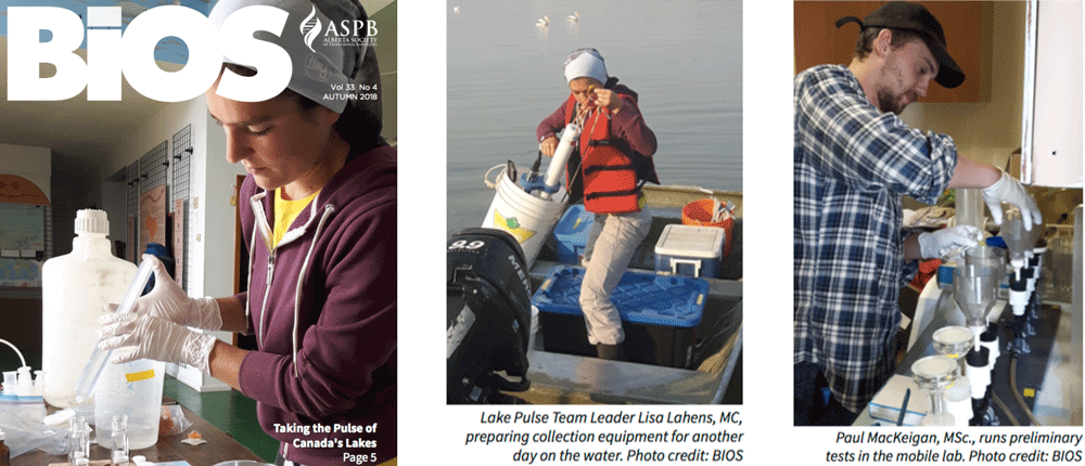
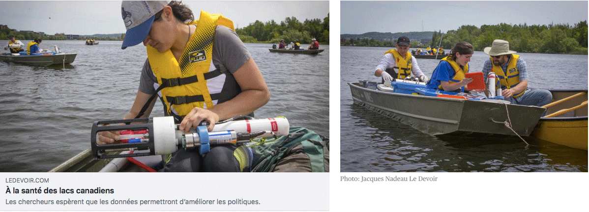
Standardized methods have been used to sample over 100 variables at 664 lakes across Canada. This will support national and continental-scale analyses of lake health. Our field teams use the LakePulse Field Manual to maintain data quality. We are working on a Water Portal so that our research can help to inform decision-makers, policymakers and the public.
A part of our dataset is available on DataStream, an open access online platform for sharing information about freshwater health.
