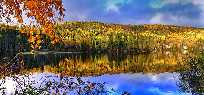
LakePulse field teams in the summer of 2019 Click here for interactive map
Map of lakes sampled in 2017, 2018 and 2019. In the map above, for each lake, the size of the circle indicates one of our three size classes (small is 0.1-0.5 km2, medium is 0.5- 5 km2, large is 5-100 km2). The colour indicates our human impact index (green is low, yellow is moderate, red is high). Click here for interactive map.
Standardized methods are used to sample over 100 variables at 680 lakes across Canada. This will support national and continental-scale analyses of lake health. Our field teams use the LakePulse Field Manual to maintain data quality. We are working on a Water Portal so that our research can help to inform decision-makers, policymakers and the public.
- Archive: Annual Report for 2017-2018
LakePulse Questionnaire
Help us to create online tools that suit your needs for lake health and water quality data by completing our questionnaire
LakePulse Survey
Field teams collect samples using the same methods for 680 lakes so the results can be compared across the country. Field team map for 2018
Blog: Water We Doing?
Our blog shares the adventures of LakePulse participants carrying out the first national assessment of Canadian lakes
Research Themes & Projects
Our researchers and students collaborate on multidisciplinary projects organized under four overarching themes.
LakePulse.ca Water Portal
By using satellite imagery and spatial modelling techniques, we will extend measurements from 100s of sampled lakes to many 1000s of lakes.
Our partners across Canada include the ministries of provinces and territories, federal agencies and departments, as well as not-for-profit organizations.
They offer their expertise, data and logistical knowledge. Together, we are creating new tools to deliver information to people who care about lakes, such as scientists, managers, policymakers and citizens. To build the first nationwide database of Canadian lakes, we use lake and water quality data from diverse sources.


The LakePulse.ca Water Portal brings together LakePulse & the freshwater community across Canada!
The Water Portal team works with diverse groups across Canada. By sharing our research findings in an accessible & user-friendly way, we will contribute to a common knowledge base that can inform conversations & decision making:
- Automated lake reports
- Interactive tools
- For over 80,000 lake watersheds, maps on land use and a human impact index
- Policy briefs on some of our key findings
- Recommendations on technical aspects, such as on how to develop a geospatial environmental database, an online portal, standardized protocols for lake sampling, and more.