arrow_forward_ios
A portrait of lakes across Canada from LakePulse
To assess lake health, our teams traveled across Canada for 3 summers to collect lake data.
664 lakes were sampled and analyzed to create a nationwide dataset.
From this dataset and further analyses by LakePulse, a geomatics team at the University of Sherbrooke developed the LakePulse portal.
To learn how to navigate the portal, check the next few pages.
circleradio_button_uncheckedradio_button_uncheckedradio_button_uncheckedradio_button_uncheckedradio_button_uncheckedradio_button_unchecked
arrow_back_ios
arrow_forward_ios
Navigating the portal
First,

click and drag to move around the portal.
The tools in the top right corner will help you throughout your session.
- ← To zoom in and zoom out, click on those buttons.
- ← To reset the portal at the starting view.
- ← To see these instructions again, click on the help button.
- ← For more advanced tools click on the three small dots.
With these tricks, you'll be navigating in the map like a pro !
radio_button_uncheckedcircleradio_button_uncheckedradio_button_uncheckedradio_button_uncheckedradio_button_uncheckedradio_button_unchecked
arrow_forward_ios
arrow_back_ios
Lake report
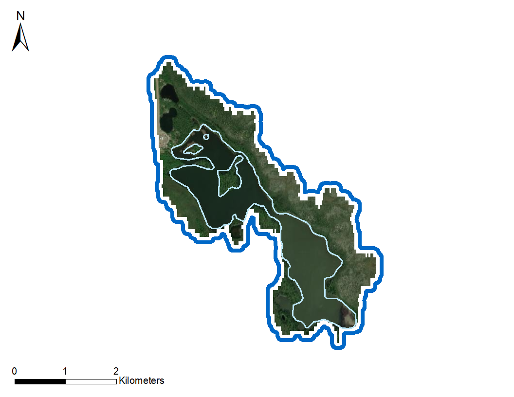
The map is interactive, you can click on all the sampled lakes to know more about their
characteristics, you will recognize them by their color.
If you click on a lake, a large window will appear.
Click on these tabs to see all the information.
If you see this icon info
anywhere in the portal, do not hesitate to click on it to see more information. There are quite a few hidden
features that you will find in there.
Click on the text and items in blue to discover new features.
radio_button_uncheckedradio_button_uncheckedcircleradio_button_uncheckedradio_button_uncheckedradio_button_uncheckedradio_button_unchecked
arrow_forward_ios
arrow_back_ios
Menu
- To remove the sampled lakes, show more data about them on the map or even to create
new variables, click on Lake & Watershed data.
- To remove labels or change the map in the background click on Map Background.
- To see which sampled lake had the most extreme values and learn more about the cause
click on Record Holders.
- To compare lakes’ variables between ecozone or province click on Lake comparison between regions.
- To see some results that were published by LakePulse click on LakePulse Research..
- To share issues or comments please click on Share
feedbacks.
- To see who are the partners for the LakePulse project click on Partners.
radio_button_uncheckedradio_button_uncheckedradio_button_uncheckedcircleradio_button_uncheckedradio_button_uncheckedradio_button_unchecked
arrow_forward_ios
arrow_back_ios
Lake & Watershed data
Tricks to see the legend of the selected data or map background.
To see the legend of the selected data click here.
This button opens the legend in a floating window that you can drag around.
radio_button_uncheckedradio_button_uncheckedradio_button_uncheckedradio_button_uncheckedcircleradio_button_uncheckedradio_button_unchecked
arrow_forward_ios
arrow_back_ios
Lake comparison between regions
Select if you want to display data across ecozones or provinces/territories.
Select which variable you want to look at.
Select how to present the data.
Optional: If you chose to look across provinces/territories above,
you can subselect an ecozone and only the provinces that overlap with this ecozone will be presented. Similarly if you chose Ecozones above.
radio_button_uncheckedradio_button_uncheckedradio_button_uncheckedradio_button_uncheckedradio_button_uncheckedcircleradio_button_unchecked
arrow_back_ios
Lake selection graphic
This tools show the variables of all the lakes contained inside the screen view.
To restrict the number of lakes click here (1), then click and drag on the map (2) to select the desired lakes.
If you change the screen view, click here to update the graphic.
Select which variable you want to look at.
You will find the tool in the bottom right corner.
1
2
radio_button_uncheckedradio_button_uncheckedradio_button_uncheckedradio_button_uncheckedradio_button_uncheckedradio_button_uncheckedcircle
This portal presents the result of extensive field work, sample and data analysis, quality control by students, postdocs, research assistants and researchers from 10 universities across Canada which collaborated with
provincial and federal governments and other organizations.
See
lakepulse.ca for more information on the program and participants.
Design and technical aspects of the portal are carried out by the Université de Sherbrooke. ‘Portal team’:
Jelena Juric, Jean-Sébastien Bruneau-Blais, Emma Dubrûle, Virginie Tetreault, Samia Djerroud and Maxime Fradette. Its development is supervised by
Yannick Huot.
We thank everyone who has commented and provided feedback during its construction.
The results presented in the current version of the web portal (phase 1) should not be used for scientific
investigation (most were rounded, scaled, binned or otherwise modified to help with presentation and comparisons).
They are meant to provide information to environmental stewards, policy makers and the public to understand and
compare lakes in the context of others in Canada and their region. LakePulse will release its complete dataset
once the students and postdocs have advanced their work and we are fully confident in the dataset.
This said, land use and land cover as well lake and watershed characteristics (size, slopes, etc.)
are available and quality controlled and can be used for any purposes (available under the lake Characteristics
and Watershed Characteristics to of each lake). The shapefiles of the watersheds and lakes are also provided under
the 'Watershed Characteristics' tab of each lake under the 'learn more' section. These are also quality controlled
and usable for any purposes.
3.0.0 :
-Extended dataset added
-Minor bug fixes
2.0.0 :
-First bilingual version of the portal
-New Features : Lake assessment top ribbon and tab
-New Feature : 3D Watershed Model tab
-New Map Background : Canadian pipelines
-New Lake and Watershed data : Geography
1.0.1 :
-New features : comparison of selected Lake, storymap, added information on the subclasses of the land use
classes, aboriginal reserve
-Minor bug fixes
1.0.0 :
First version of the lake pulse portal. For this version, many basic tools were implemented to obtain information the lakes and to compare data between them. New functionalities will be added here. But for now, just explore the portal and you can use the story map to help you navigate.
 The funding for this project was provided by the Natural Sciences and Engineering Research Council of Canada